
Anna Maria Island Florida at a glance
Anna Maria Island is about 7 miles (11 km) long. Three small communities share it: Anna Maria in the north, Holmes Beach in the middle and Bradenton Beach in the south. The island sits on Florida's Gulf Coast between Tampa and Sarasota, next to Longboat Key, and the bridges from the mainland are free of tolls.
This guide covers what visitors actually do here: dolphin and sunset boat tours, kayaking in the mangroves, fishing, the public beaches, the piers, the trolley, Egmont Key and Robinson Preserve. It also explains the weather, where to stay, how to arrive from the airports and what has changed since Hurricanes Helene and Milton in 2024. Prices are 2026 rates and can change.
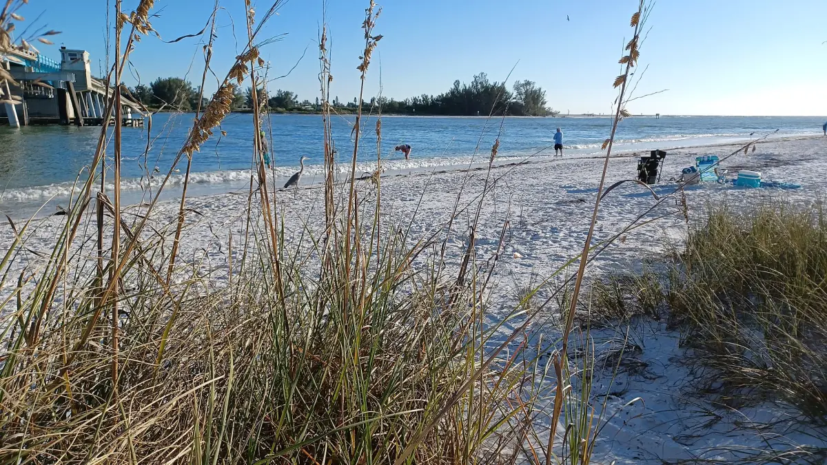
Our picks: boats, kayaks and the Gulf
Most first visits start on the water. The dolphin cruises and the kayak tour are the easiest introductions, the sandbar trip suits a swim day, and parasailing is for anyone who wants to see the island from above.
Hand-picked tours, booked through GetYourGuide and Viator. Prices are indicative starting prices in US dollars (as of October 2026). Tap a tour for live availability and the current price in your currency.
90-minute parasailing trip off Bradenton Beach
- 10 to 12 minutes in the air
- Marina fees and parking
- Safety equipment
A 90-minute outing with a briefing, a boat ride and 10 to 12 minutes of flight. Marina and fuel fees, local taxes and parking are covered.
Check availability →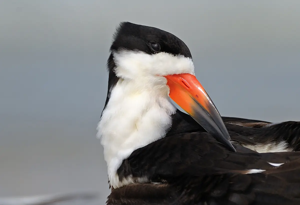
Boat trip to a sandbar with shelling
- Sandbar stop
- Shelling
- Snorkelling option
About two and a half hours on the water with time on a sandbar for shelling and swimming. Ask whether snorkel gear is included before you book.
Check availability →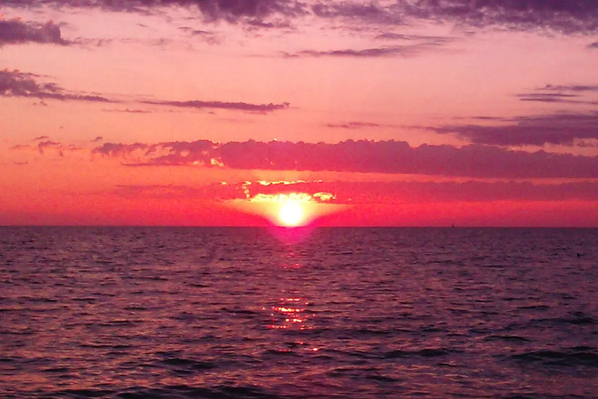
Two-hour sunset dolphin cruise from Holmes Beach
- Two-hour sunset cruise
- Wildlife watching on board
A relaxed evening trip on the water around the island, with the chance to watch dolphins and other wildlife. Sightings are never guaranteed.
Check availability →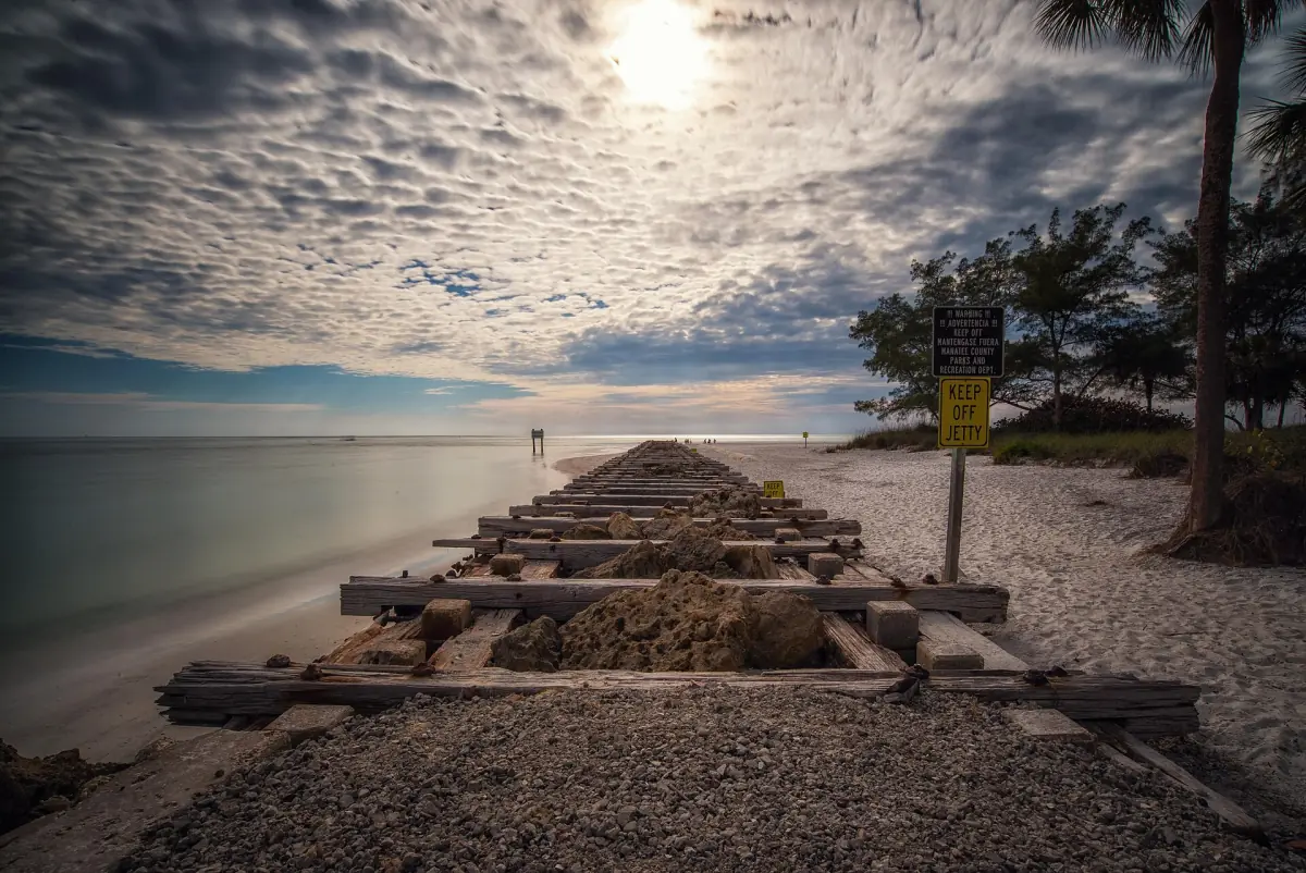
Island kayak tour with snorkelling
- Masks and snorkels
- Kayaks and paddles
- Life jackets and dry bags
About two and a half hours of paddling, with masks, snorkels and all paddling gear included. Parking is across the road at the north entrance of Coquina Beach.
Check availability →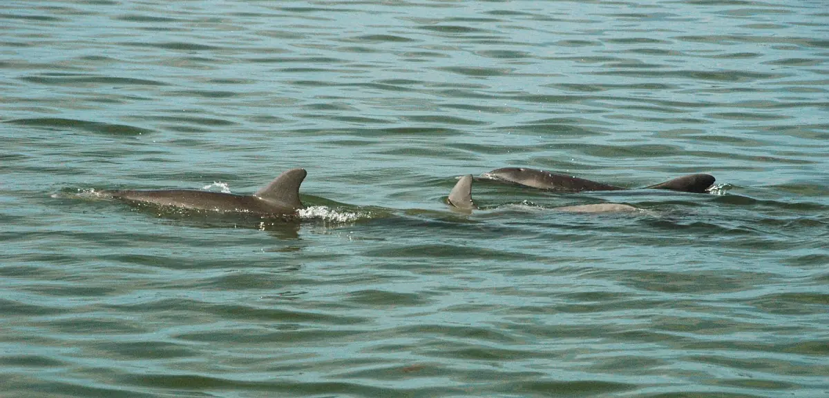
Dolphin sightseeing boat trip
- Experienced guide
- Dolphin-watching route
A two-hour boat trip from the marina in Holmes Beach with a guide, a simple way to see the island from the water. Dolphins are wild and cannot be promised.
Check availability →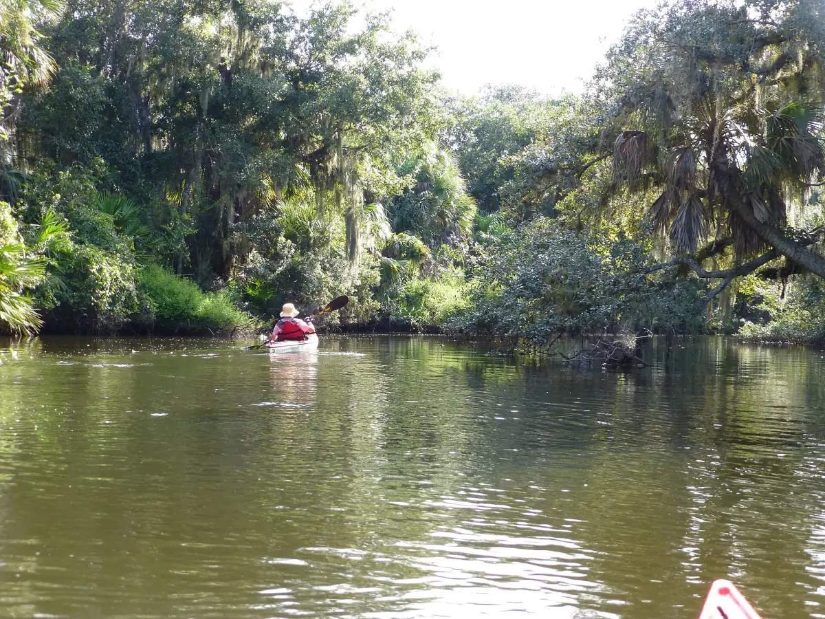
Guided manatee-area kayak tour from Bradenton Beach
- Eco-tour guide
- Sit-on-top kayaks and gear
- Photos and videos by the guide
A two-hour guided paddle with a kayak briefing and talk about the local wildlife and history. Manatees are wild animals and cannot be promised.
Check availability →Anna Maria Island tours and day trips
Dolphin and sunset cruises, kayak tours, fishing charters and more around the island, with live prices and availability.
Plan your trip
Start with the list of things to do, then pick the pages you need.
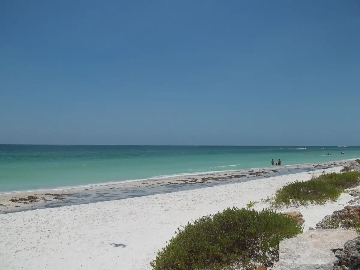
Things to do in Anna Maria Island
Boat tours, beaches, piers and the trolley, and what is closed for now.
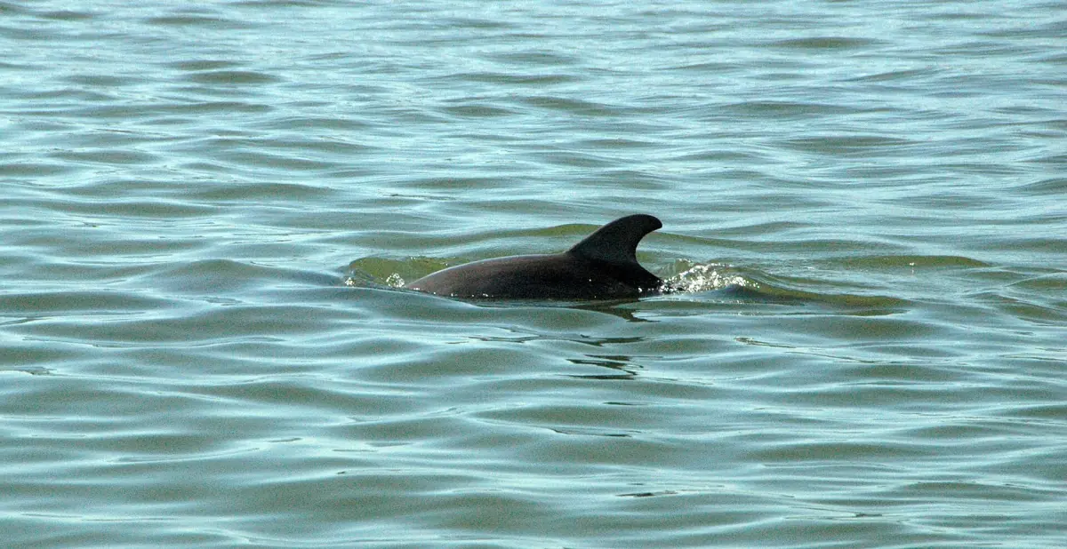
Dolphin tours and sunset cruises
Prices, departure points and the rules for watching wild animals.
Kayaking and paddle boarding
Robinson Preserve, rentals and the safety gear you need on the water.
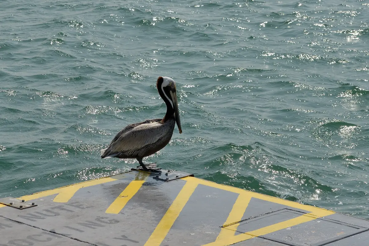
Fishing, piers and licenses
Florida saltwater license prices, charters and where you can fish.
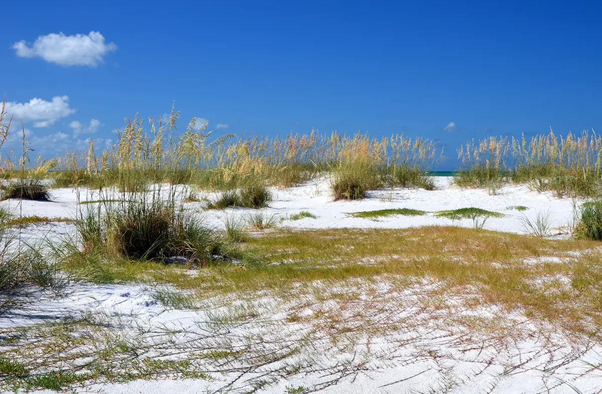
Beaches on the island
Lifeguards, flags and which beaches suit which kind of day.
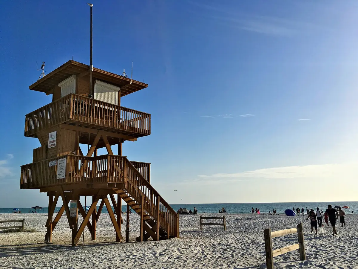
Coquina Beach
Parking, facilities, pavilions and sunset.
Holmes Beach
Manatee Public Beach, shops and where the rental rules matter.
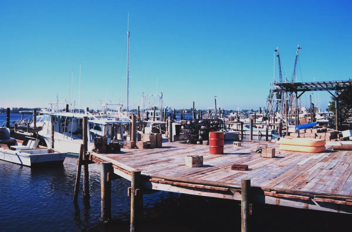
Bradenton Beach and Cortez
Bridge Street, the pier and the historic fishing village.
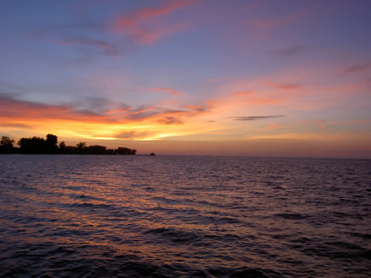
City Pier and Rod and Reel Pier
What is closed, what is being rebuilt and where you can still fish.
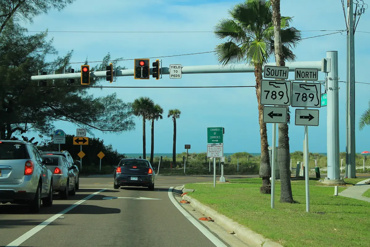
The island trolley
Route 5, hours and how it differs from the passenger ferry.
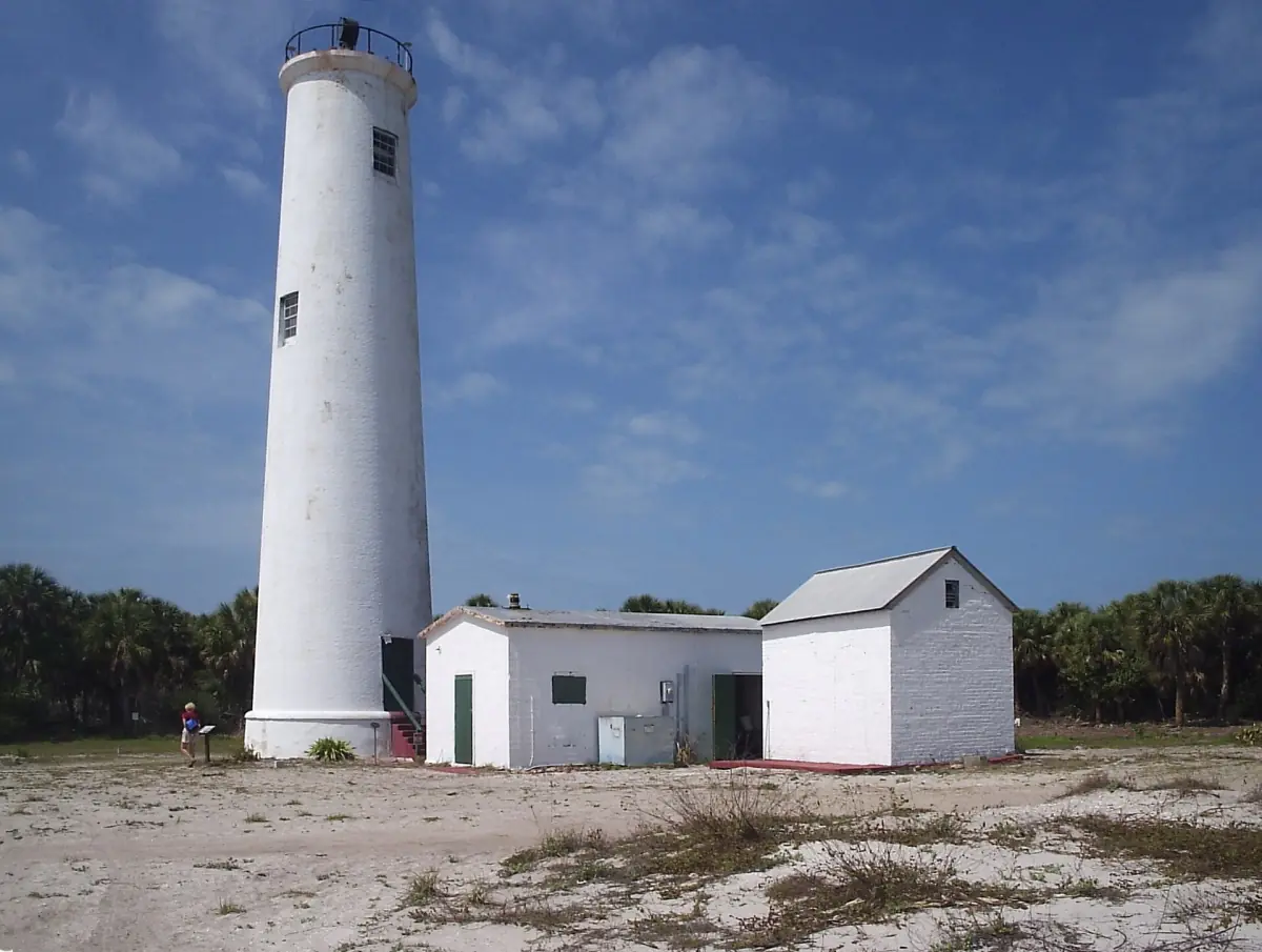
Egmont Key
Boat access, the old fort and the rules of the wildlife refuge.
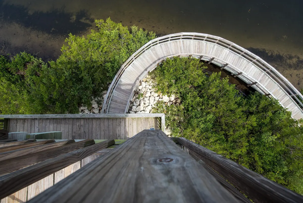
Robinson Preserve
Trails, towers and the kayak launch in Bradenton.
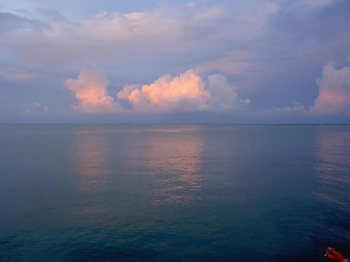
Weather and best time to visit
Climate by month and the hurricane season.
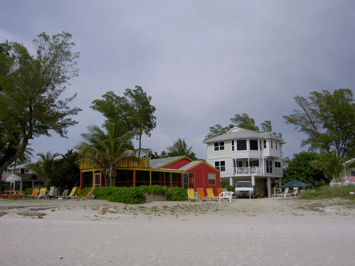
Where to stay
Hotels and vacation rentals by town, and the local rental rules.
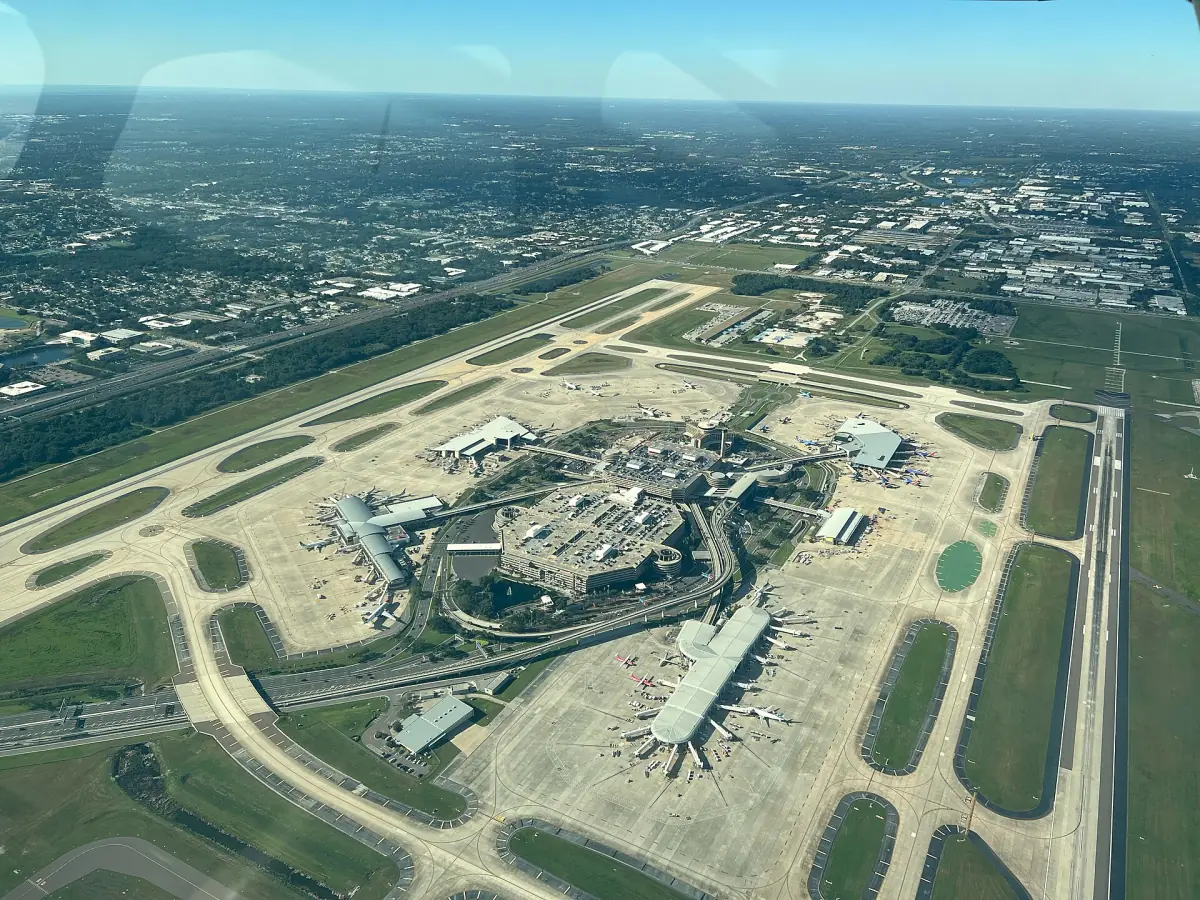
Airports, transfers and rental cars
Sarasota-Bradenton and Tampa, plus the three roads onto the island.
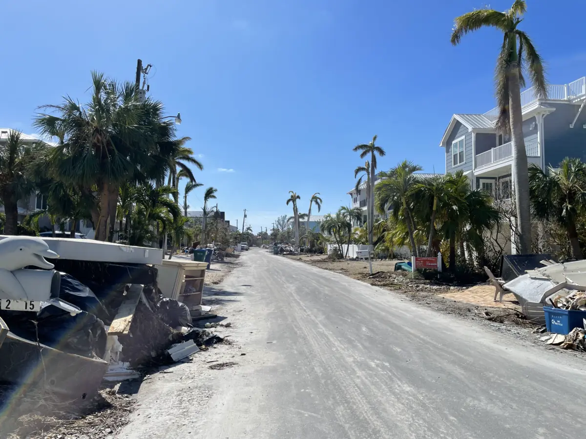
Hurricanes and recovery
Helene, Milton and what has reopened.
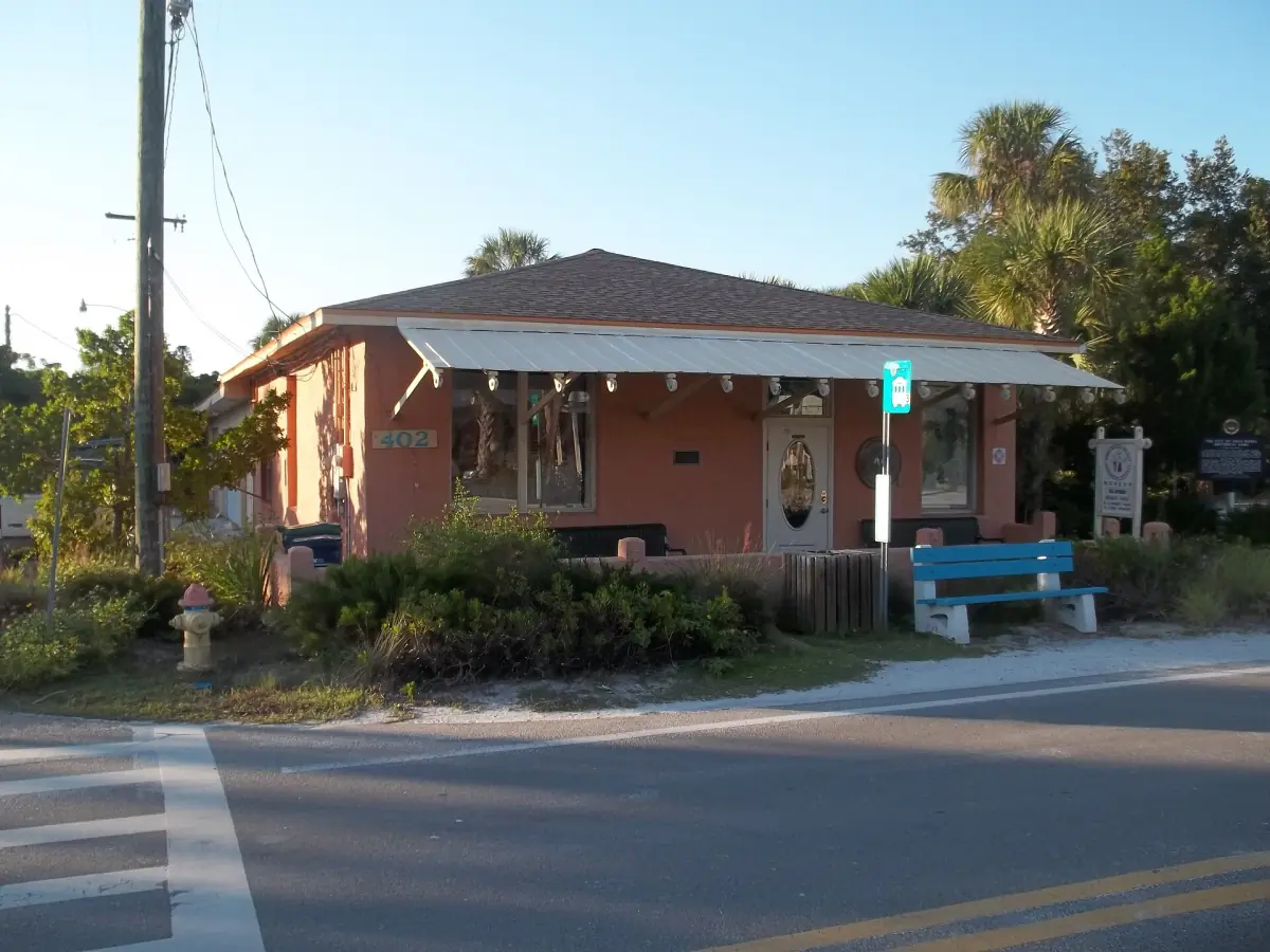
History of the island
Early settlers, the three towns and the old pier.
A few things to know before you go
The island is open for visitors, but some places are still changing.
Two piers are not open
The Anna Maria City Pier has a new access walkway and work continues on the pier head, with November 2026 as the goal and the end of the year as the wider target. The original Rod and Reel Pier was destroyed in 2024 and has no fixed rebuild date. The Bridge Street Pier in Bradenton Beach is the fishing pier to plan around.
Piers →Egmont Key is open, its buildings are not
The state park reopened on August 12, 2026, and all buildings stay closed. You reach the island by boat only. The regular ferry leaves from Fort De Soto, not from Anna Maria.
Egmont Key →Paddle at Robinson Preserve
Leffis Key Preserve is closed because of hurricane damage. Robinson Preserve in Bradenton has the kayak launch and more than 3 miles of paddling routes. Trails can close temporarily after storms, so check before you drive over.
Robinson Preserve →Lifeguards and sand work
Coquina, Cortez and Manatee Public Beach have lifeguards. Bean Point does not, and the swimming rules there have changed more than once, so follow the signs on site. A sand renourishment project on about 0.9 miles of Coquina Beach started in September 2026 and is planned to finish at the end of October.
Beaches →Beyond the island
Neighbours with their own guides.
A little farther south, Siesta Key has its own beaches and its own guide. Longboat Key lies right next to Anna Maria Island across Longboat Pass, and Bradenton and Sarasota are on the mainland. This site stays with Anna Maria Island and the places you can reach from it.
More independent Florida Gulf Coast guides
Separate guides from the same team.
Anna Maria Island: frequently asked questions
Where is Anna Maria Island?
On Florida's Gulf Coast, between Tampa and Sarasota. It is a barrier island of about 7 miles with Anna Maria in the north, Holmes Beach in the middle and Bradenton Beach in the south. Roads and bridges connect it to the mainland and to Longboat Key, and the mainland bridges are free of tolls.
How do I get to Anna Maria Island from the airport?
Most visitors fly into Sarasota-Bradenton (SRQ) or Tampa (TPA). Expect roughly 18 to 20 miles and 30 to 45 minutes from SRQ, and 54 to 60 miles and about 65 to 90 minutes from TPA, depending on traffic and where on the island you stay. There is no passenger airport on the island. Read the getting there page for taxis, rideshare and rental cars.
Is the trolley free?
Yes. Route 5 is free for everyone and runs daily from 6:00 a.m. to 10:30 p.m. along Gulf Drive between the City Pier stop and Coquina Beach. The county schedules a bus about every 20 minutes. The passenger ferry is a separate service that you pay for. See the trolley page.
Do I need a car on the island?
Not every day. If you stay along the trolley route, Route 5 connects the island for free. You will want a car or a transfer for the airport and for trips to the mainland, such as Robinson Preserve in Bradenton.
Do I need a fishing license?
Visitors aged 16 and over need a Florida saltwater license, and catch-and-release counts as fishing. For nonresidents the prices in 2026 are $17 for 3 days, $30 for 7 days and $47 for a year. A valid pier license or charter license can cover you. Details are on the fishing page.
Is anna-maria-island.org an official site?
No. This is an independent travel guide with no link to the cities of Anna Maria, Holmes Beach or Bradenton Beach, to Manatee County, to a tourism board or to any tour company.